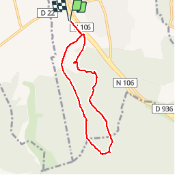

10 km | 12,2 km-effort

Utilisateur


Application GPS de randonnée GRATUITE
 SityTrail
IGN / Instituts géographiques
SityTrail World
Le monde est à vous
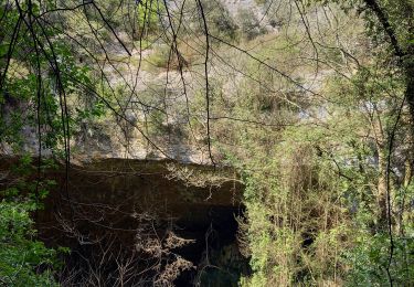
Randonnée Marche de 7,2 km à découvrir à Occitanie, Gard, La Calmette. Cette randonnée est proposée par CAMBON.
De la Calmette au nord du Clos Gaillard


Marche
Marche
Marche
Marche

Marche